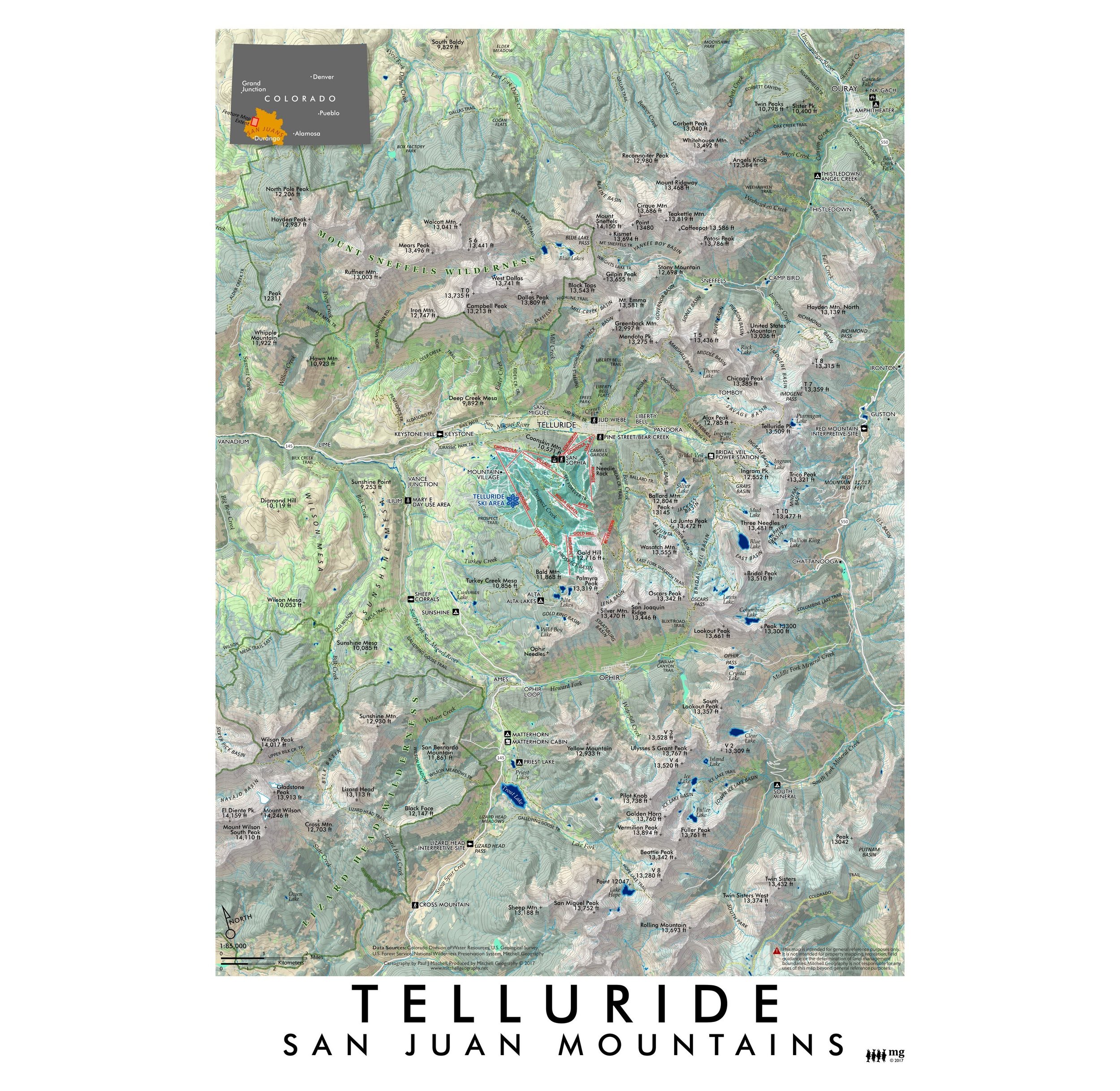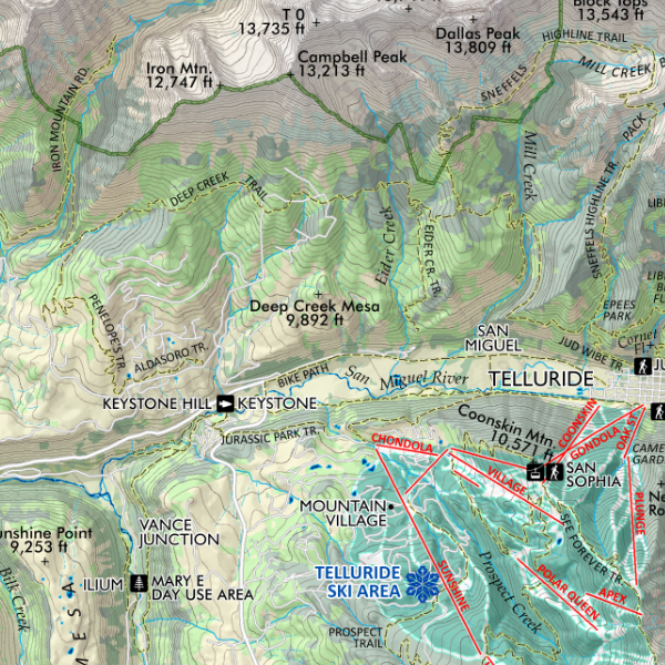
Colorado Geology (19 in x 13 in)
19 inch by 13 inch flat wall map, printed on heavy fine paper. Packed and shipped flat.
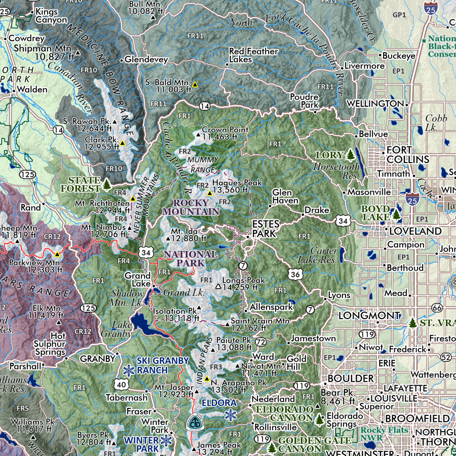
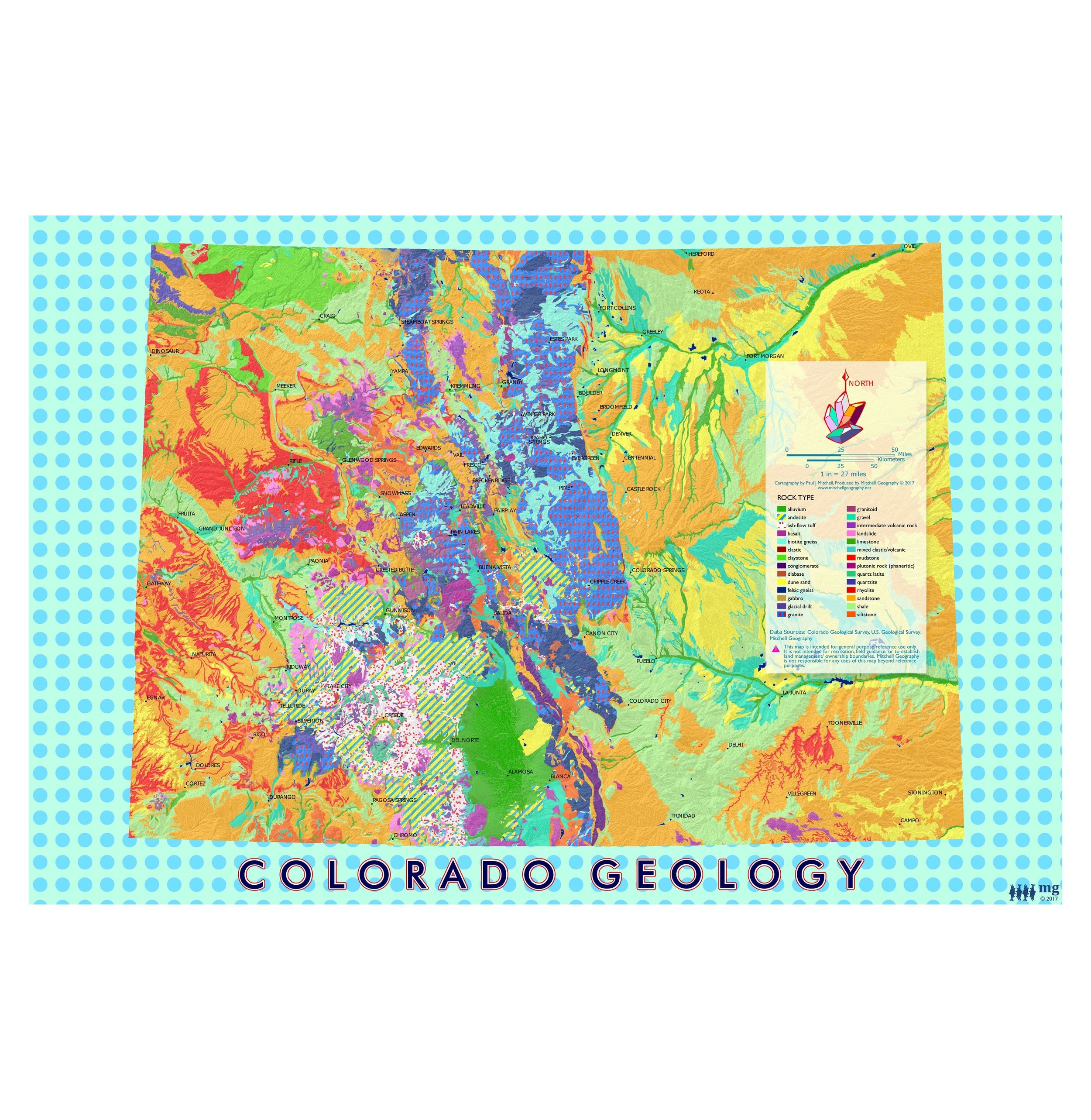
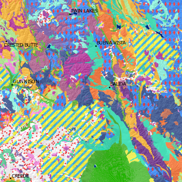
Colorado Geology. Using the 100k scale surface geology dataset produced by the Colorado Geological Survey, this map presents a re-symbolization of the surface units.
19 inch by 13 inch flat wall map, printed on heavy fine paper. Packed and shipped flat.
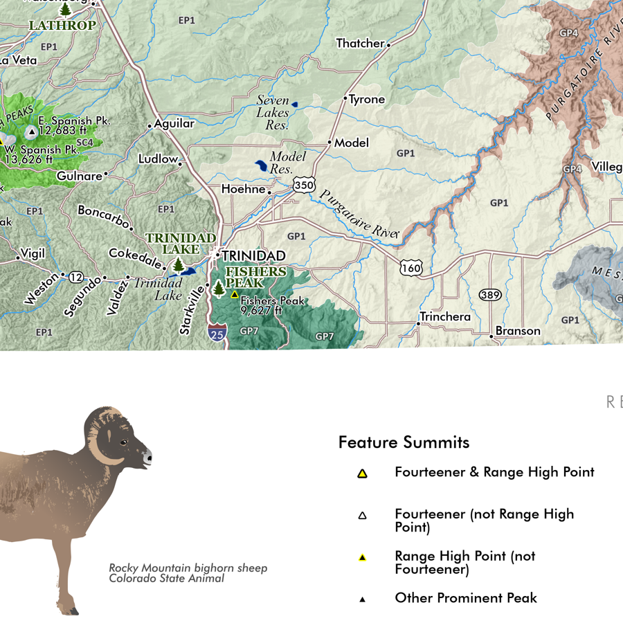
Colorado Geology. Using the 100k scale surface geology dataset produced by the Colorado Geological Survey, this map presents a re-symbolization of the surface units.


19 inch by 13 inch flat wall map, printed on heavy fine paper. Packed and shipped flat.
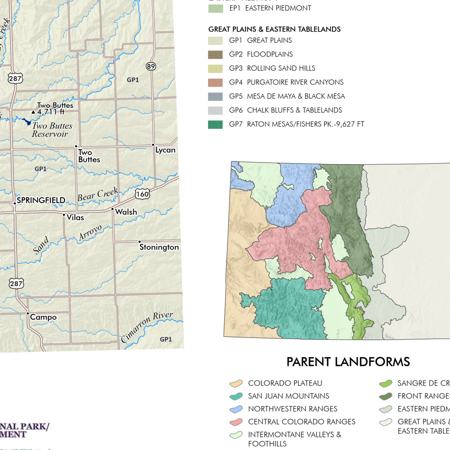
Colorado Geology. Using the 100k scale surface geology dataset produced by the Colorado Geological Survey, this map presents a re-symbolization of the surface units.