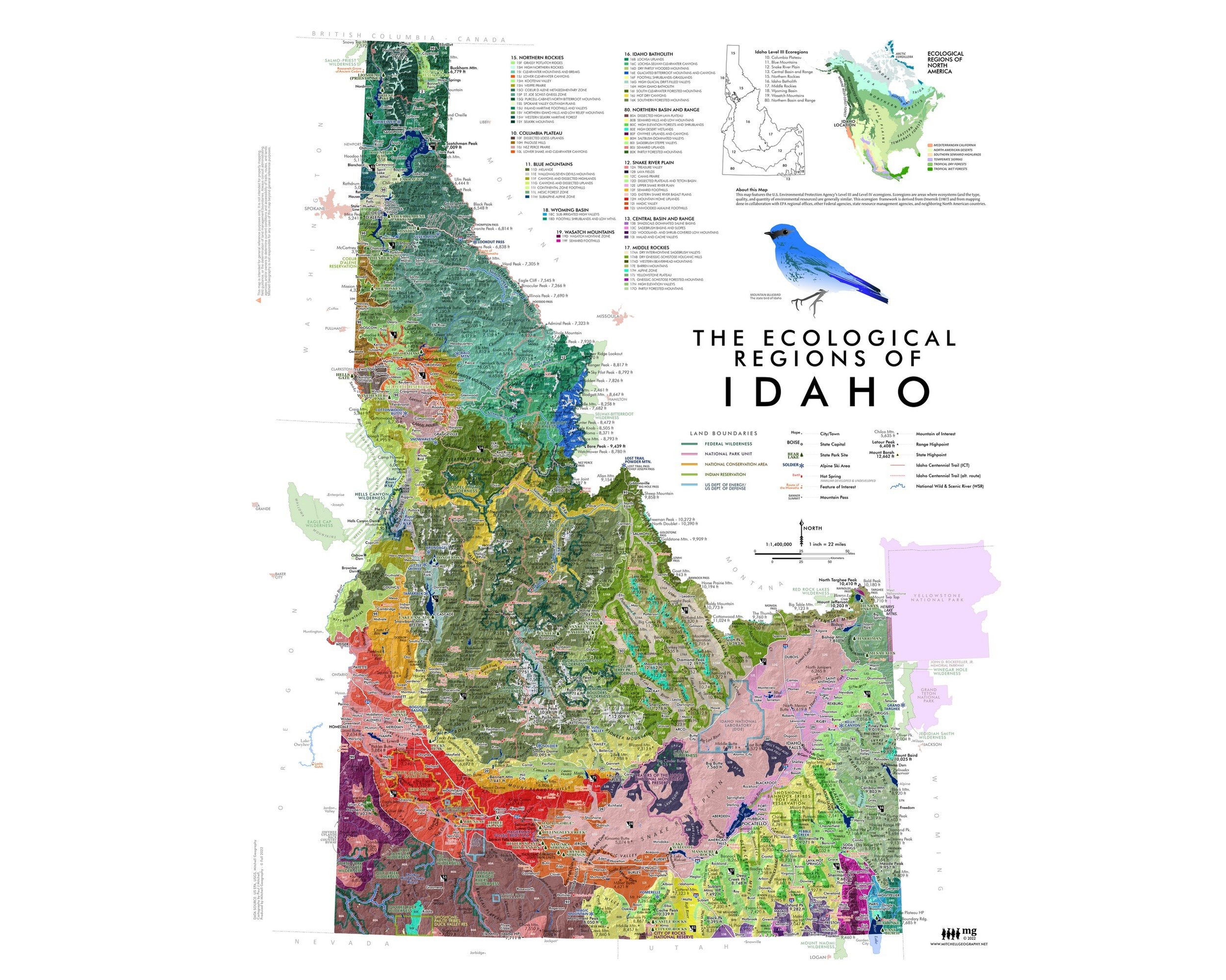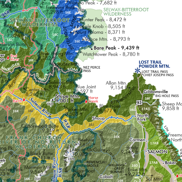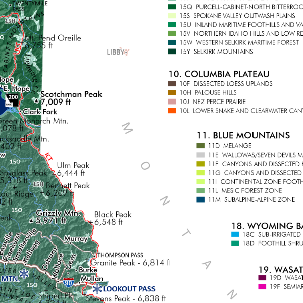
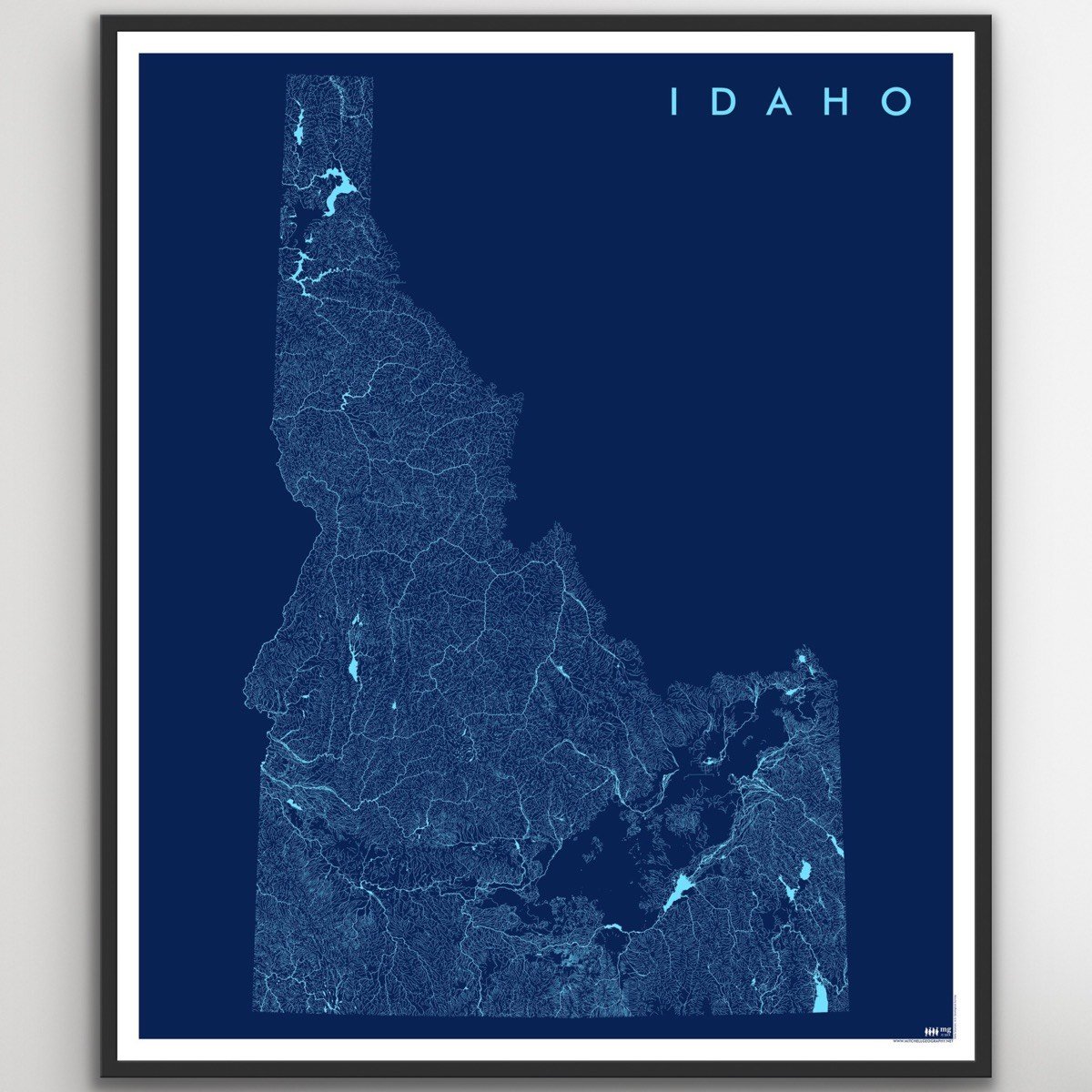
Idaho Rivers at Comparative Scale (19 in x 13 in)
$24.00
Sold Out
13 inch by 19 inch flat wall map, printed on heavy fine paper. Packed and shipped flat.
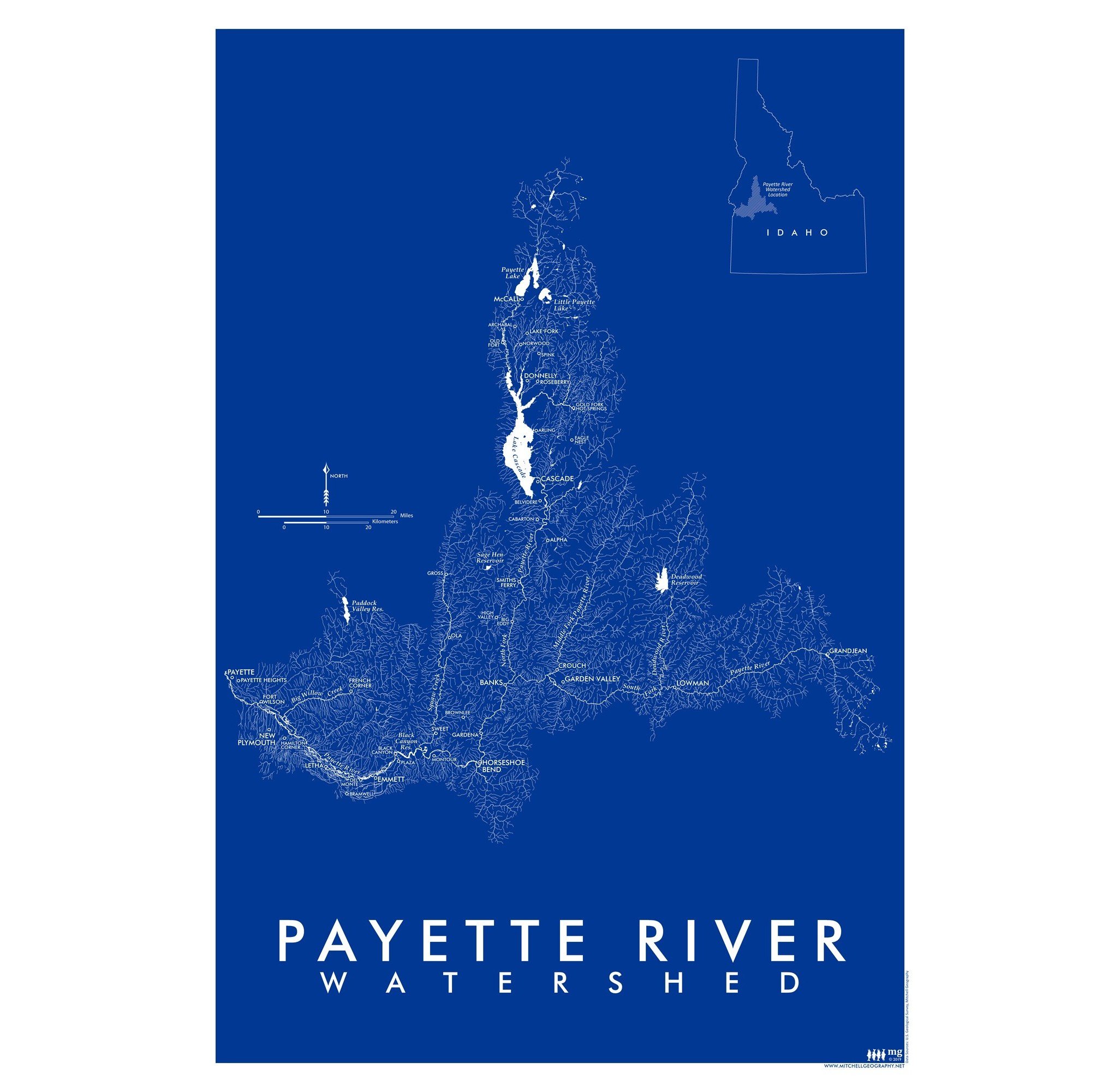
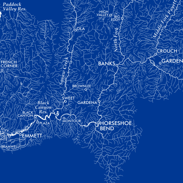
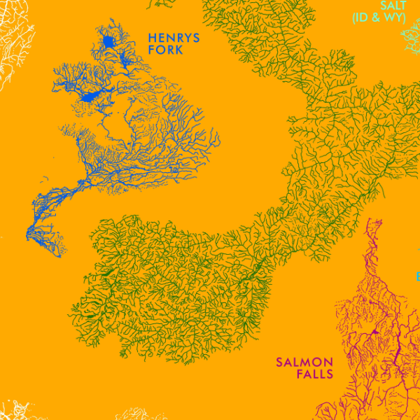
Idaho Rivers at Comparative Scale. Taxonomic style map graphic, with river systems clipped to their watershed boundary.
Color:
13 inch by 19 inch flat wall map, printed on heavy fine paper. Packed and shipped flat.
Idaho Rivers at Comparative Scale. Taxonomic style map graphic, with river systems clipped to their watershed boundary.
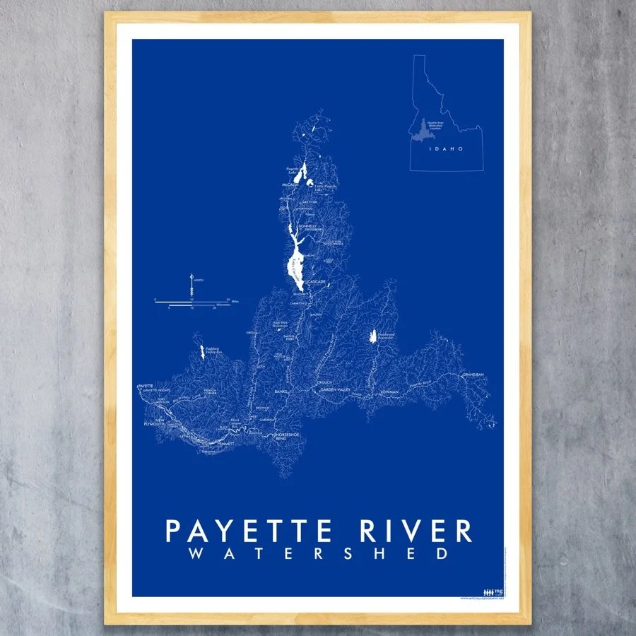
Idaho Rivers (24 in x 20 in)
$34.00
13 inch by 19 inch flat wall map, printed on heavy fine paper. Packed and shipped flat.
Idaho Rivers at Comparative Scale. Taxonomic style map graphic, with river systems clipped to their watershed boundary.