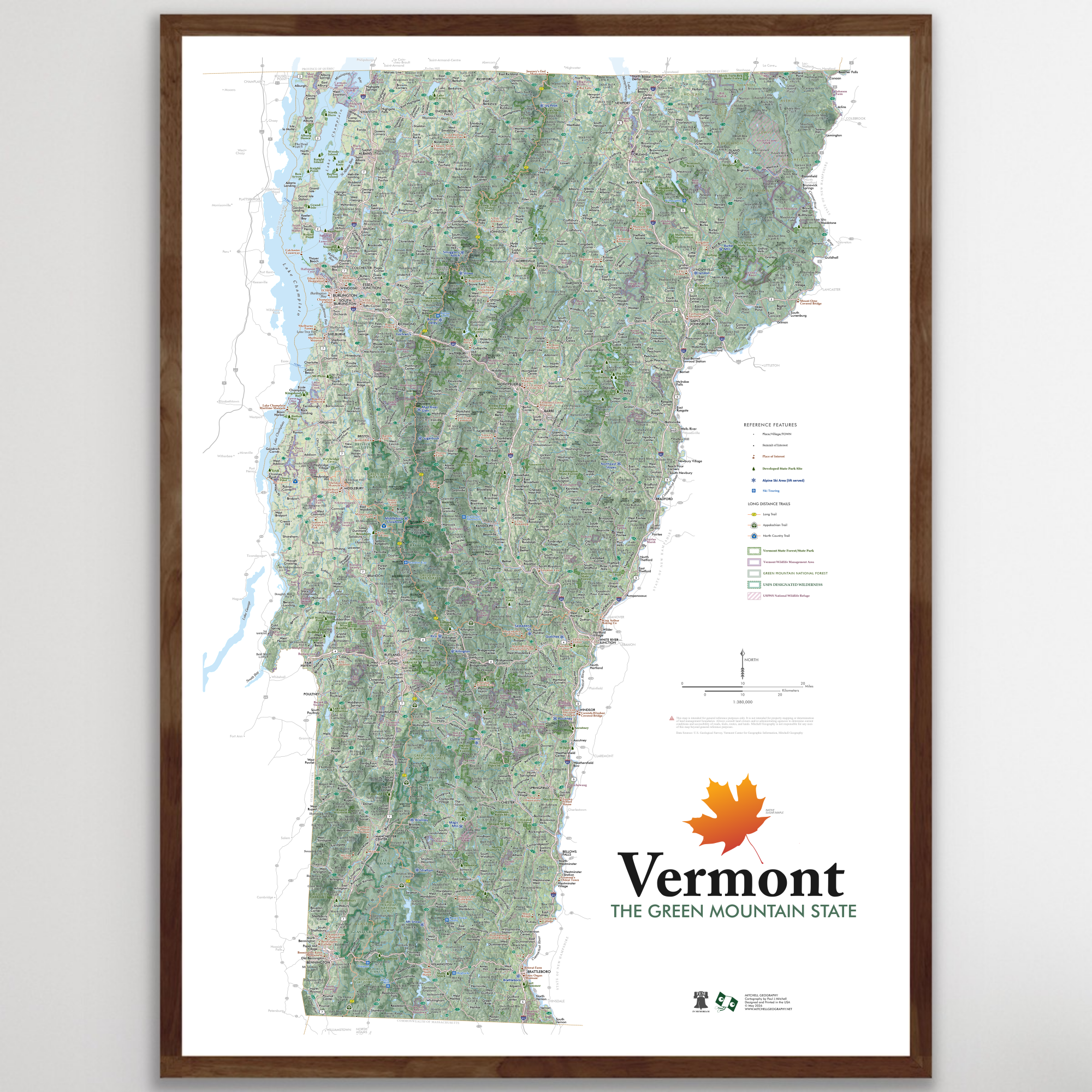
Image 1 of 3
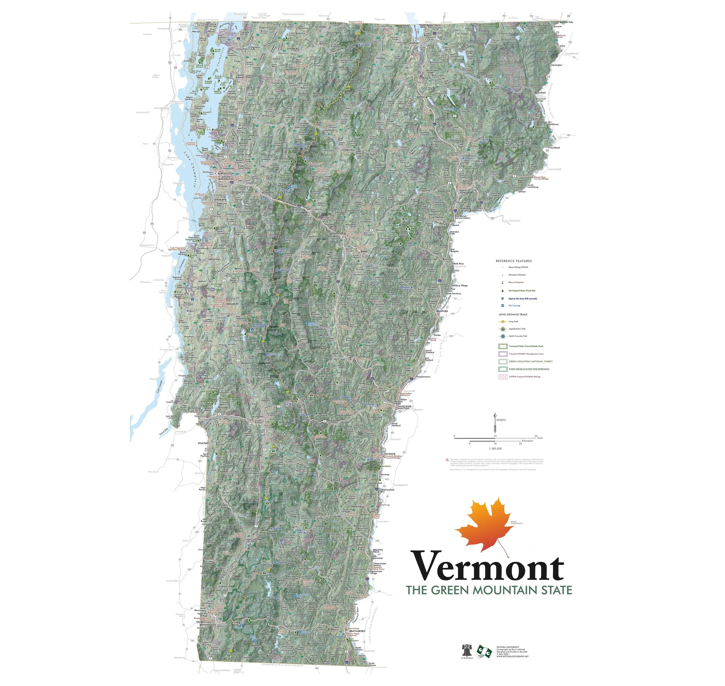
 Image 2 of 3
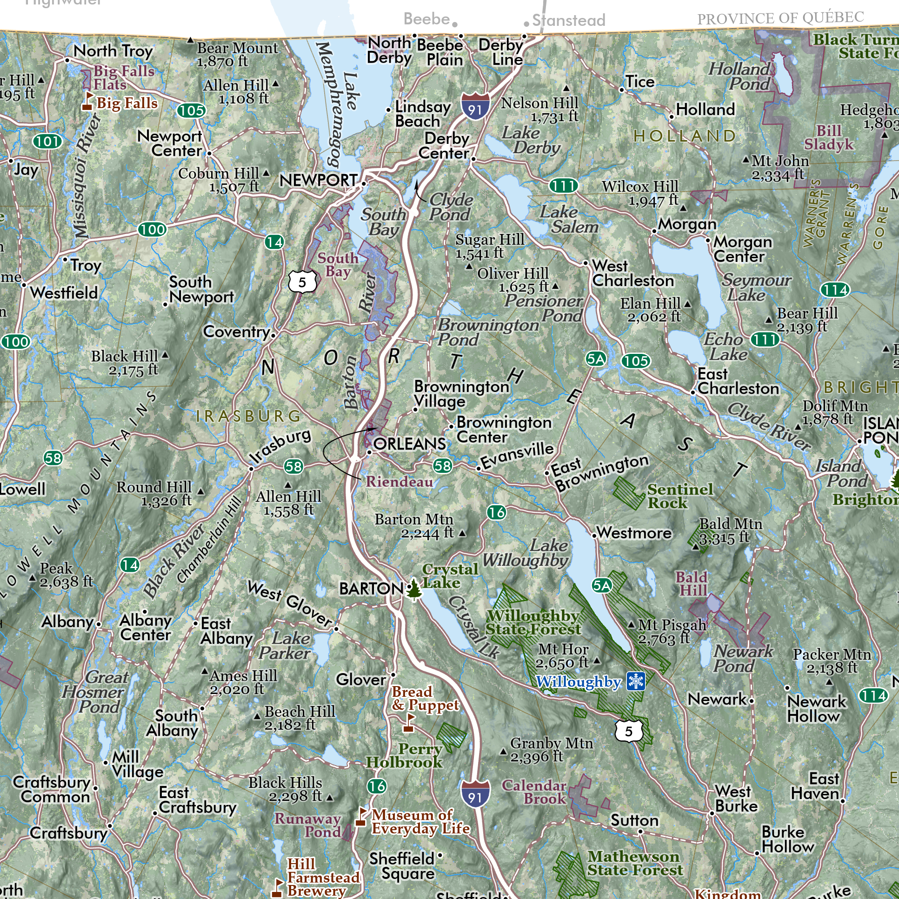
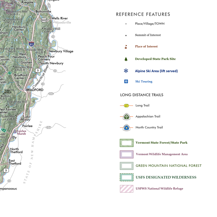
 Image 3 of 3
19 inch by 13 inch flat wall map, printed on heavy fine paper. Packed and shipped flat.
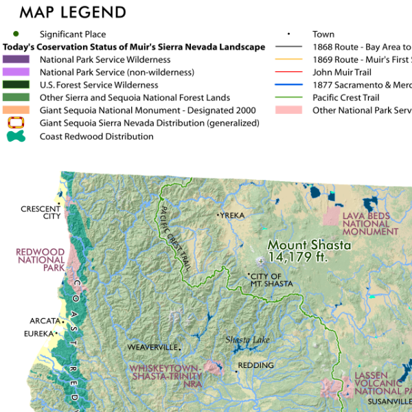
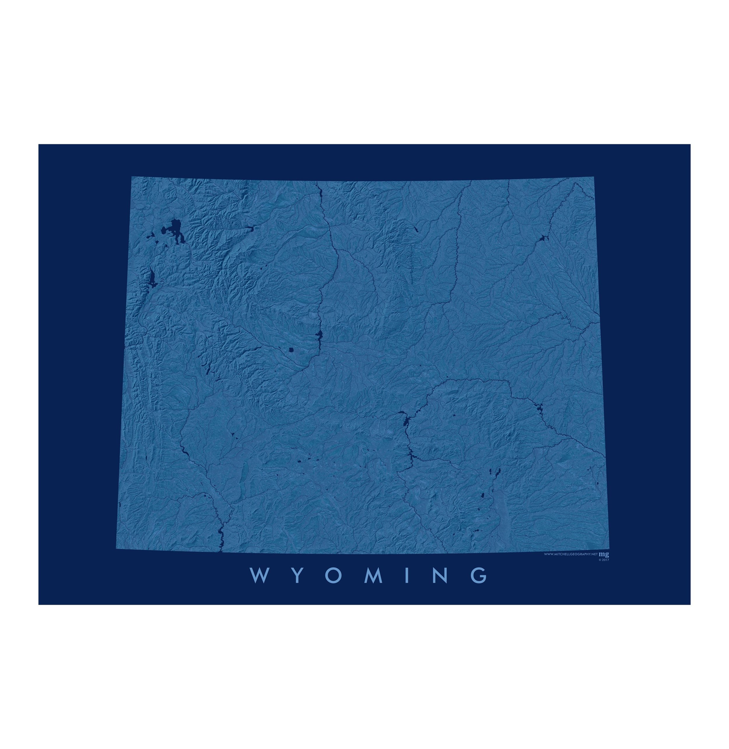
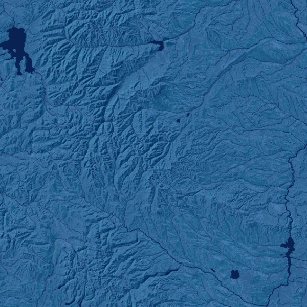
Montana Rivers. Navy blue monochrome map of Montana's surface hydrology, including rivers, lakes, reservoirs, and intermittent streams in the eastern plains portion of the state.
19 inch by 13 inch flat wall map, printed on heavy fine paper. Packed and shipped flat.
Montana Rivers. Navy blue monochrome map of Montana's surface hydrology, including rivers, lakes, reservoirs, and intermittent streams in the eastern plains portion of the state.