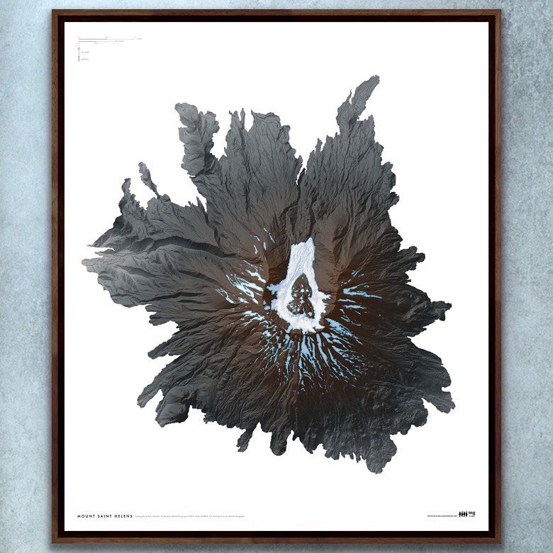
Mt. Saint Helens (24 in x 20 in)
1:24,000
24 inch x 20 inch — flat wall map, printed on a heavy fine paper — shipped rolled.
Mount Saint Helens art map. Rich and detailed art style map graphic of Mount Saint Helens in southwest Washington. Derived from recent Lidar digital surface terrain, the map features the glacial and mid summer seasonal snowfield extent. This is an art type of map poster meant to be enjoyed for the image alone — there are no reference labels, elevations, etc.

