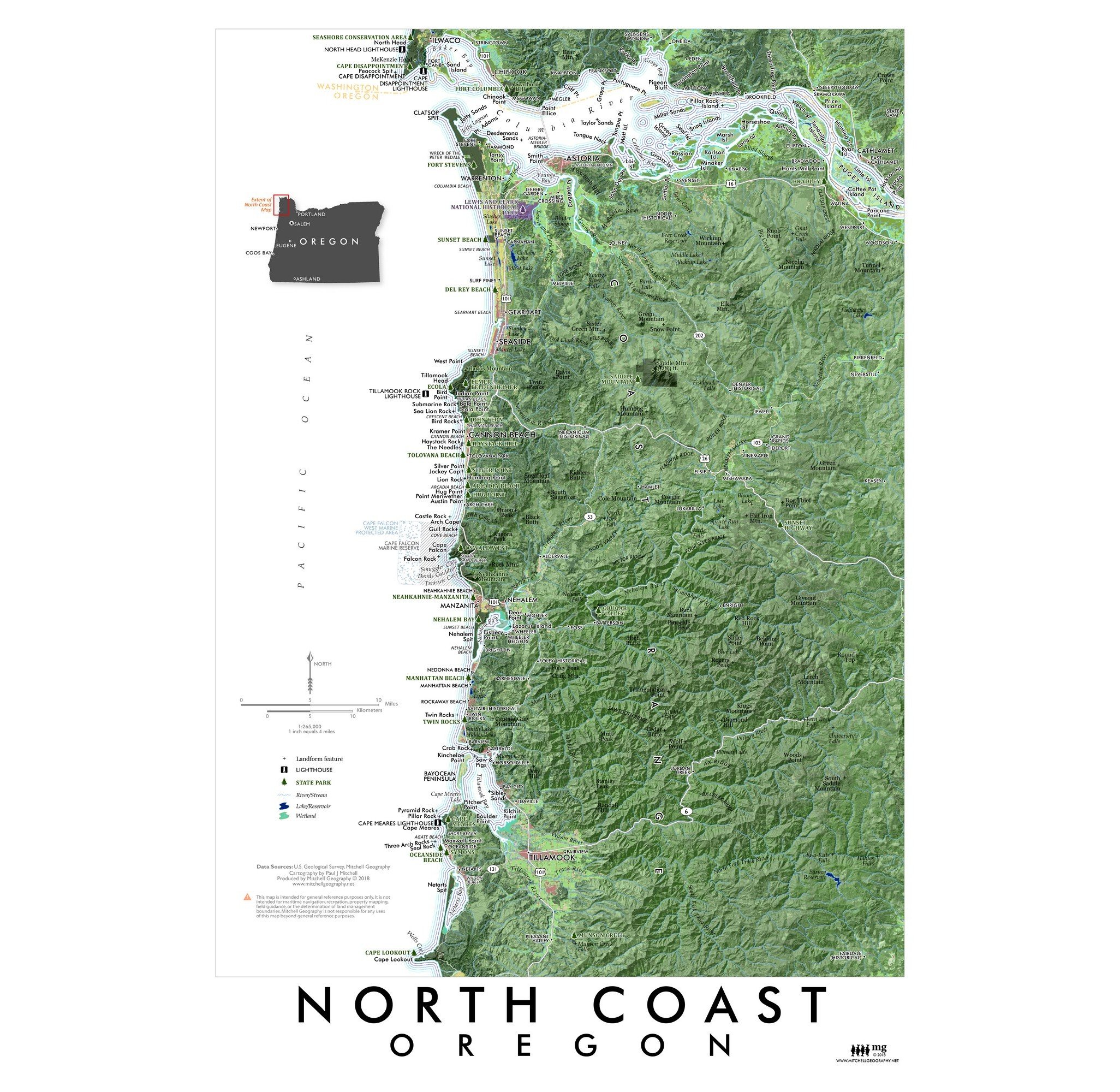
Oregon North Coast (19 in x 13 in)
1:265,000
13 inch by 19 inch flat wall map, printed on heavy fine paper. Packed and shipped flat.
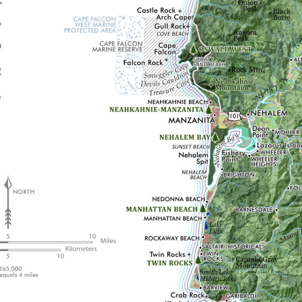
North Coast Oregon. Feature map of Oregon’s North Coast, from Cape Lookout in the south to Clatsop Spit and the Columbia Estuary in the North. The northern extent also includes Washington’s Cape Disappointment and associated features. State Parks, capes, bays, beaches, lighthouses and most populated places are labeled for reference.


