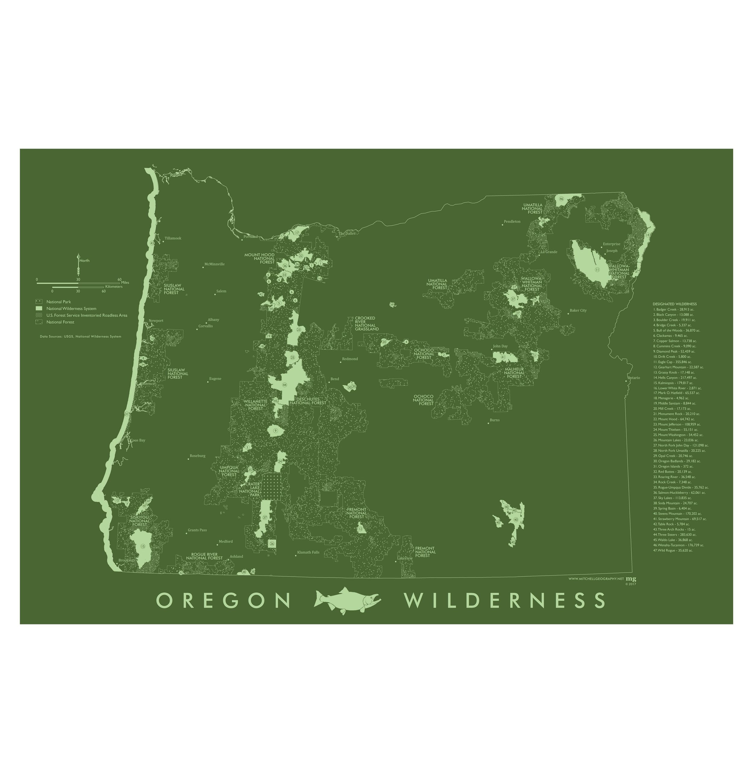
Oregon Wilderness (19 in x 13 in)
19 inch by 13 inch flat wall map, printed on heavy fine paper. Packed and shipped flat.
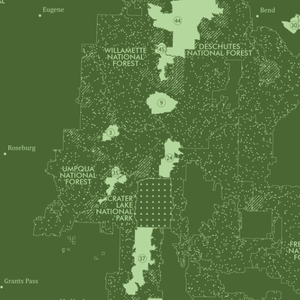
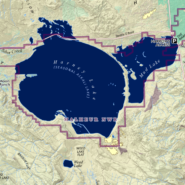
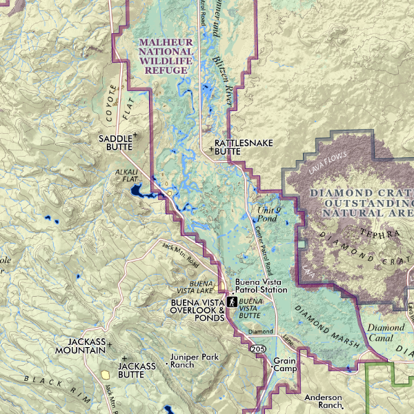
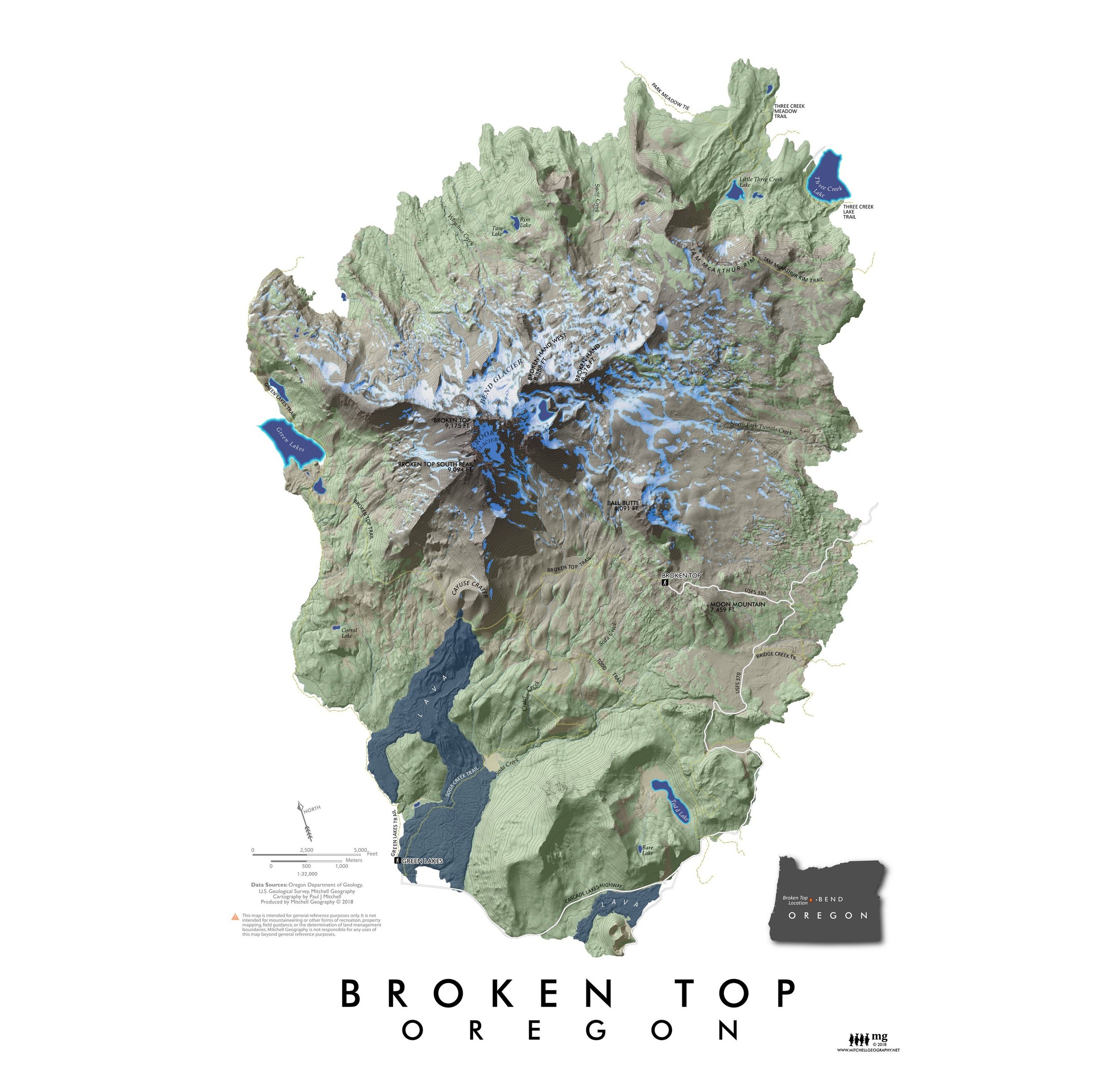
Oregon Wilderness. From the Coast Islands to Hells Canyon in the northeast, this map provides a vintage inspired representation of Oregon's many federal designated wilderness areas. National Forests are also labeled for reference. Wilderness table includes acreage of every wilderness.


