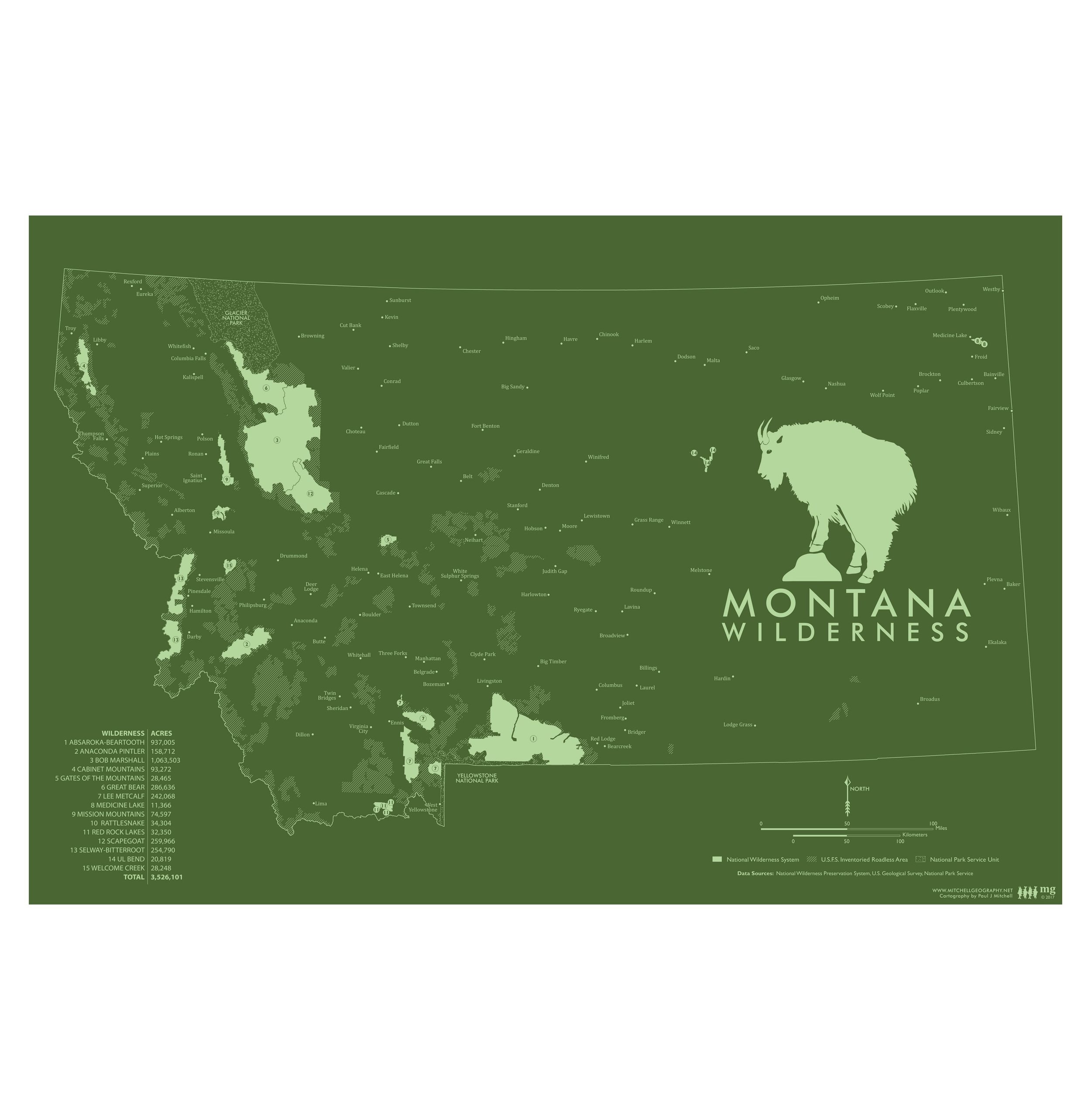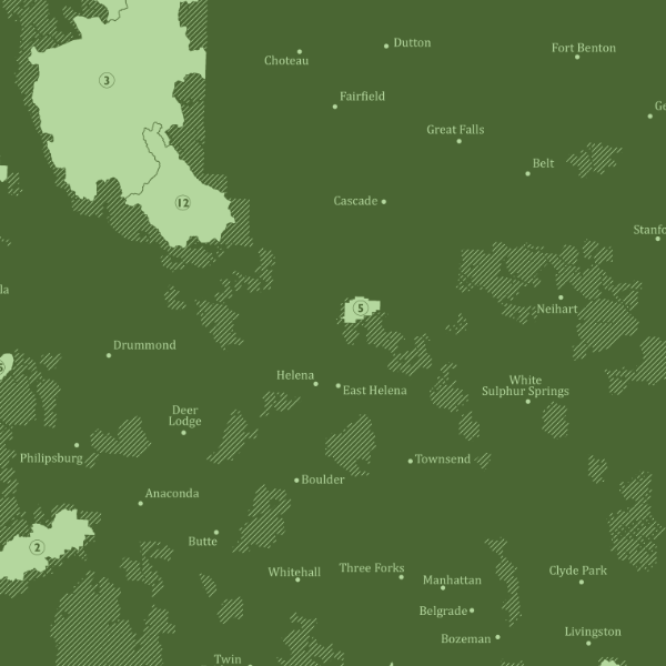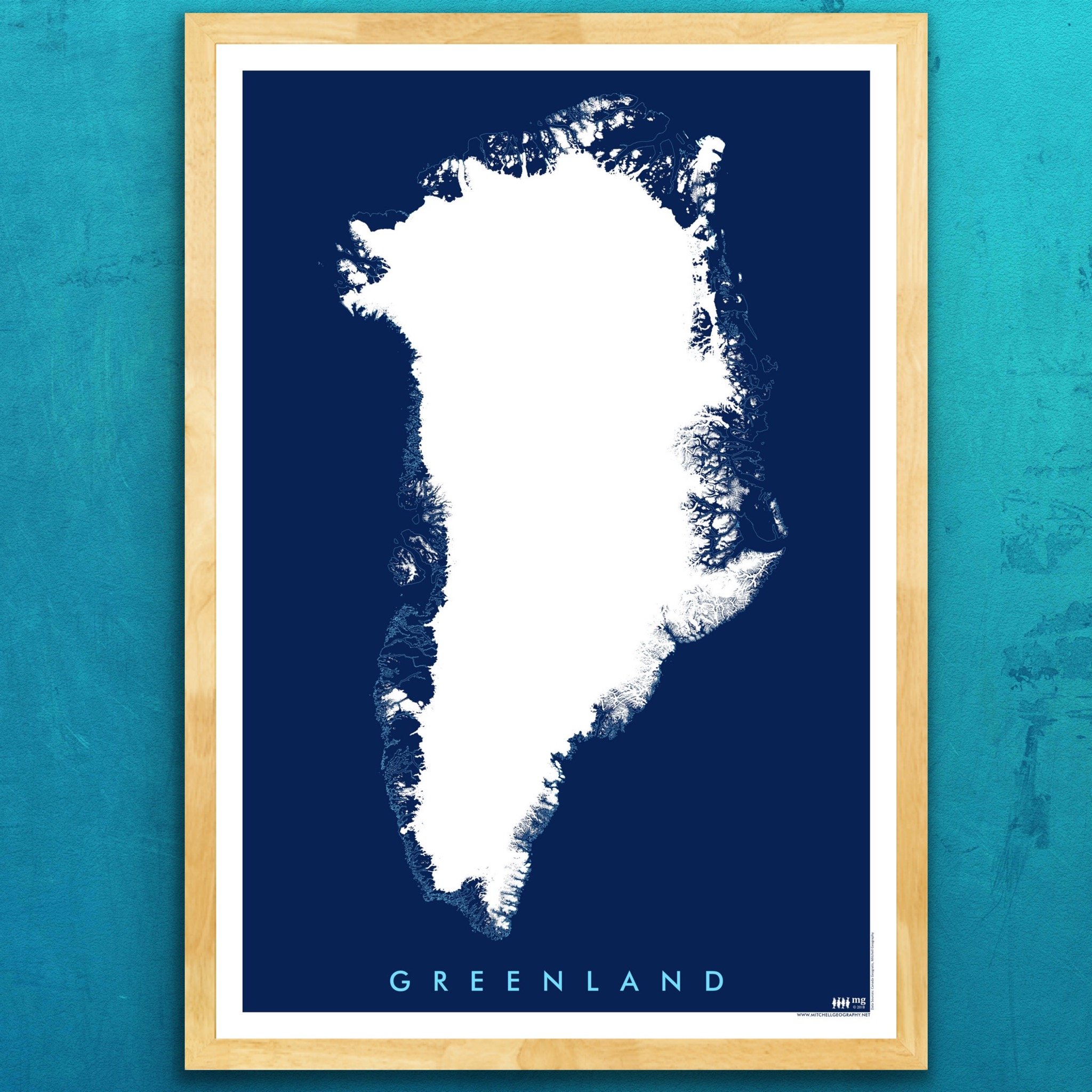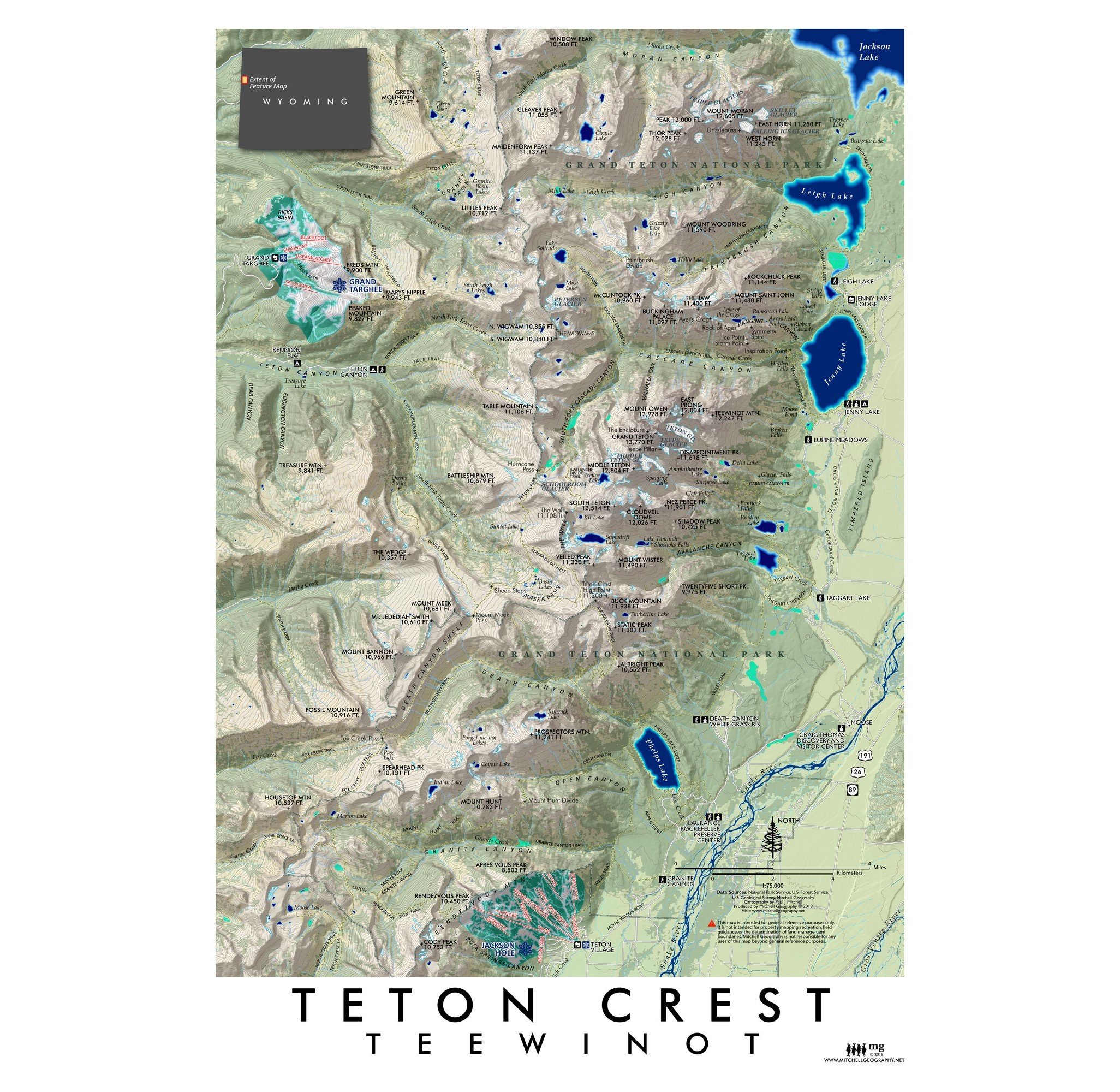
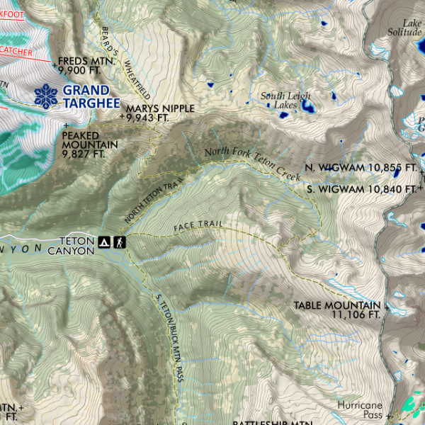
Teton Crest (19 in x 13 in)
1:75,000
13 inch by 19 inch flat wall map, printed on heavy fine paper. Packed and shipped flat.
Teton Range, Wyoming. Featuring the extent of the Tetons from Jackson Hole Ski Area in the south to Moran Canyon in the north, the “crest” so to speak including the Cathedral Group and high peak massing up to Mount Moran. Map includes ski areas, chairlifts, trails, trailheads, glaciers, alpine lakes, falls, common and provincial peak names, and lakes in both the Grand Teton National Park and Caribou-Targhee National Forest extents within the map area.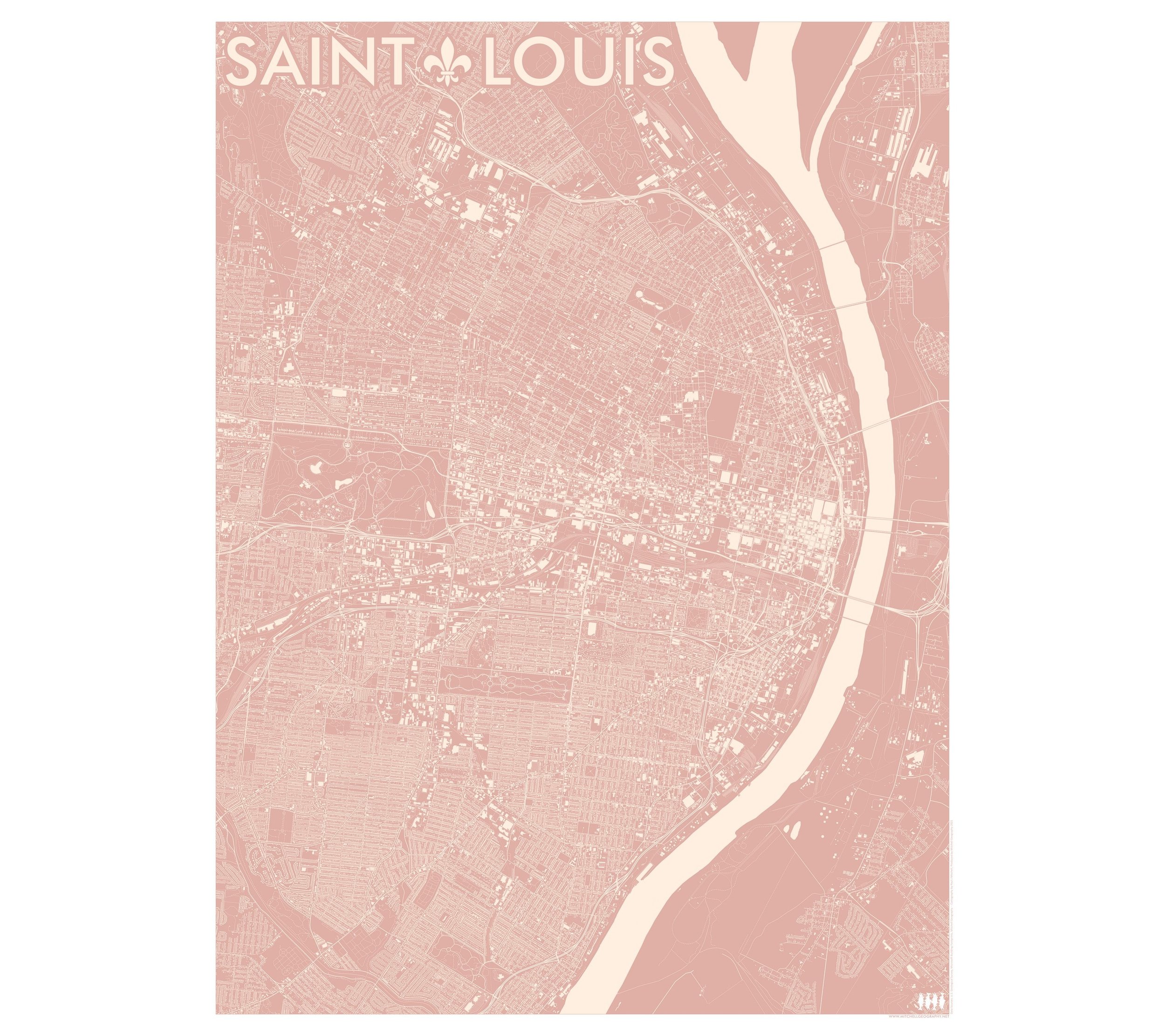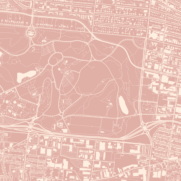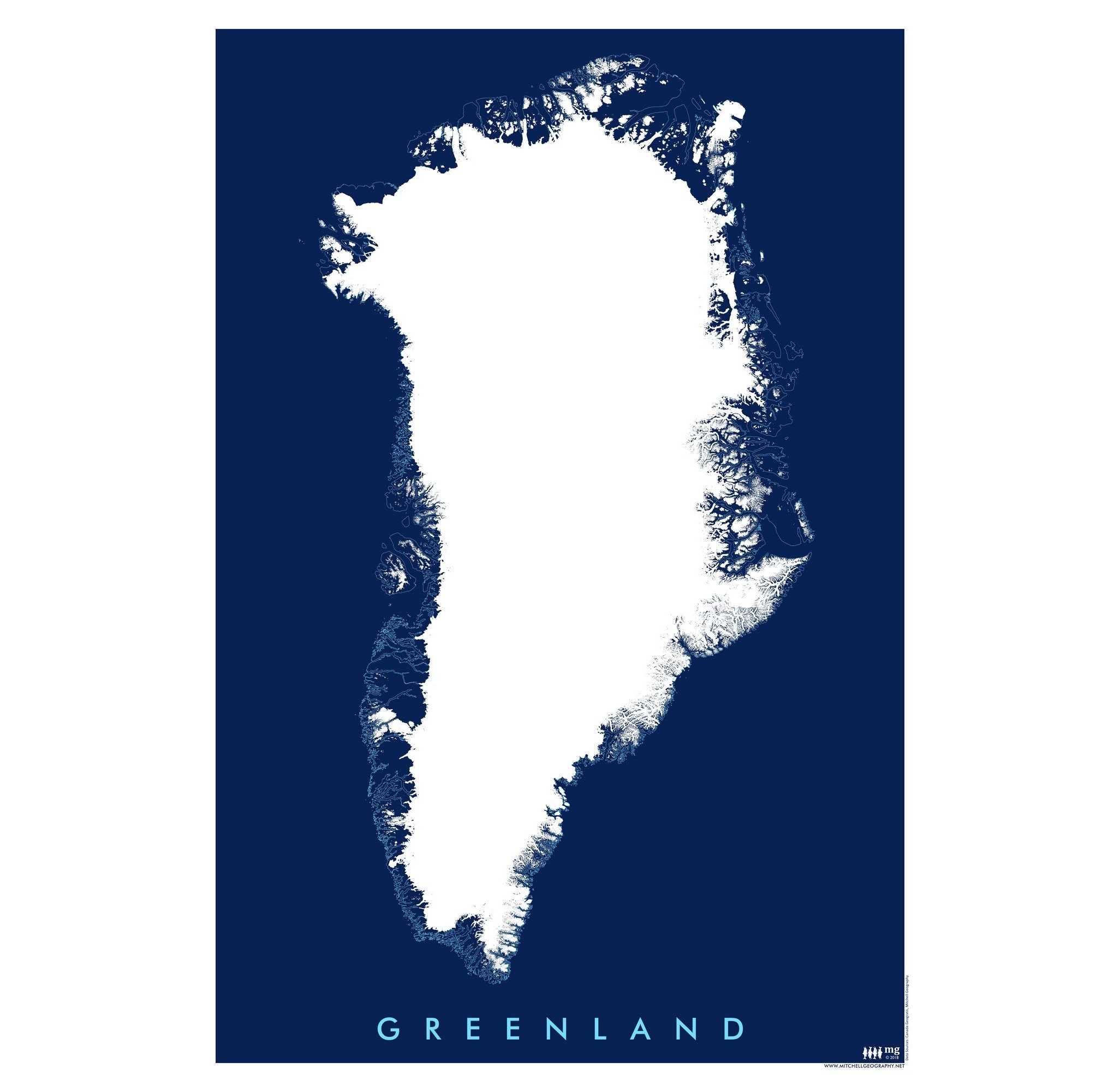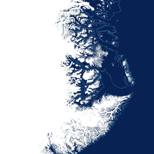