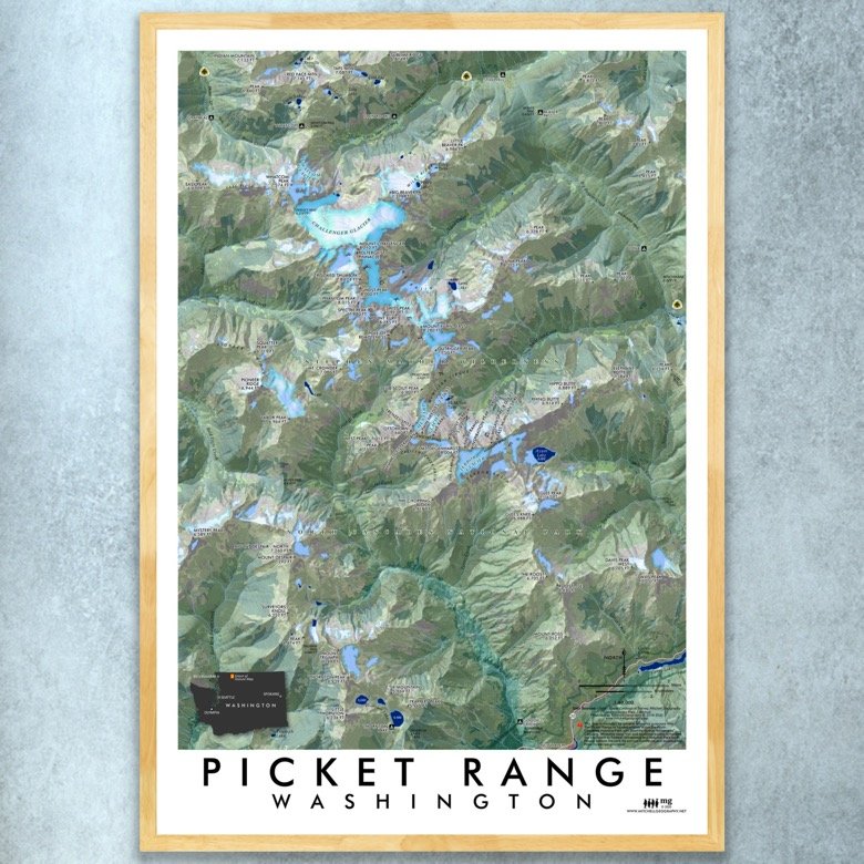
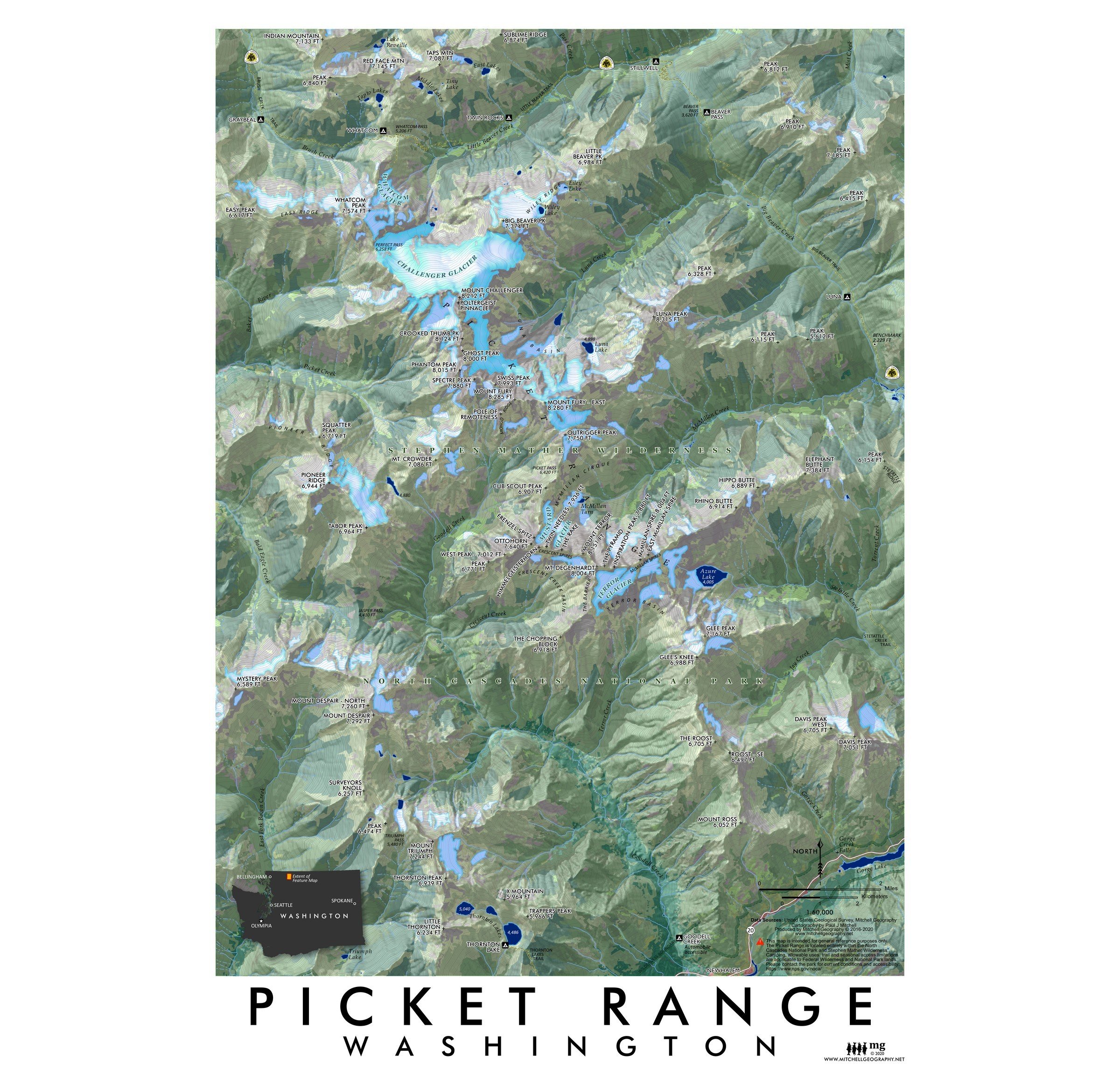
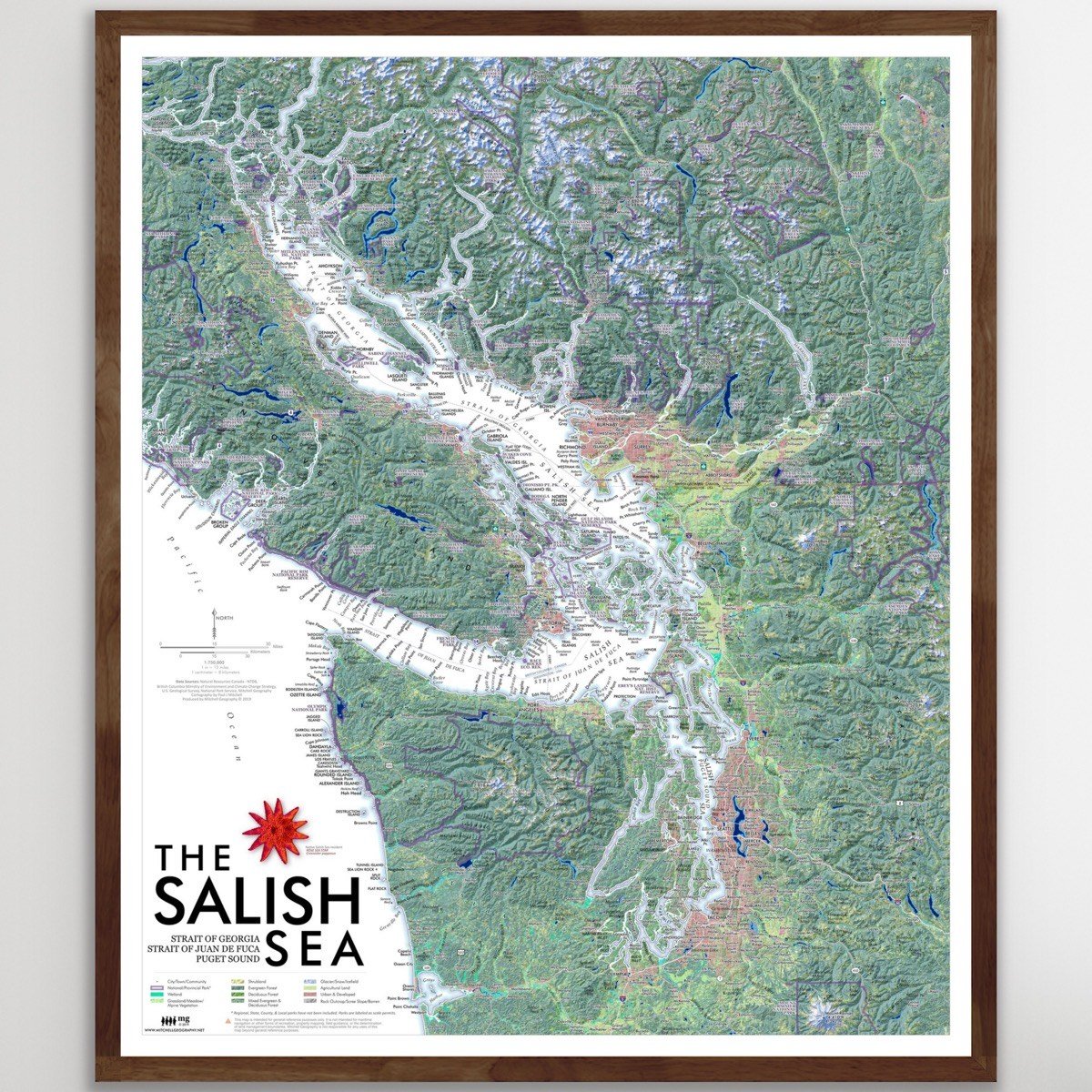
Whidbey Island (24 in x 18 in)
1:100,000
18 inch x 24 inch — flat wall map, printed on a heavy fine paper — shipped rolled.
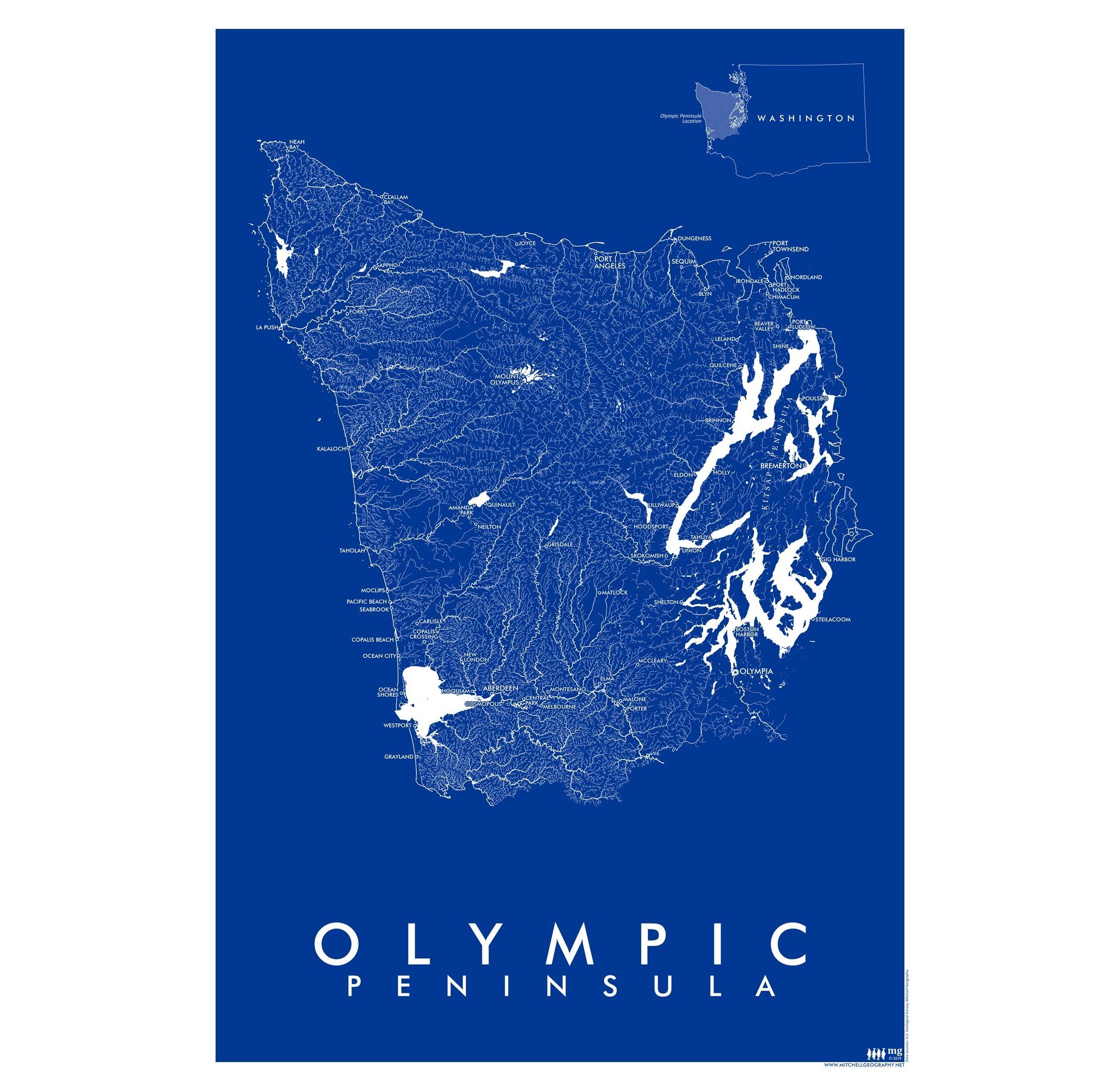
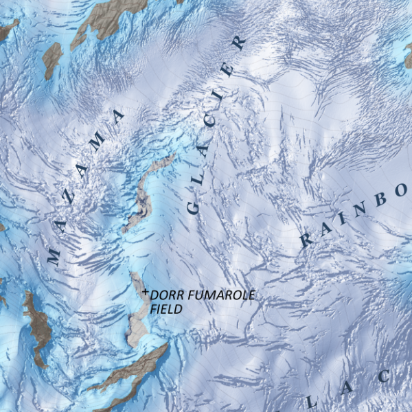
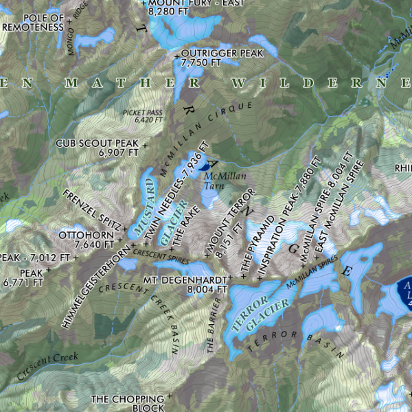
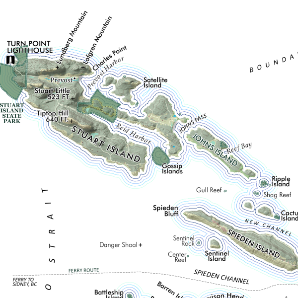
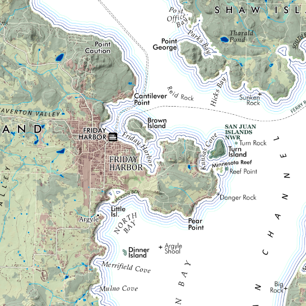
Overview map of Washington's Whidbey and Camano Islands, including state and county parks, public trails, and feature place names for general purpose reference.
*This map is a 2-D paper print, not a 3-D pressed and molded model — the map is shipped rolled in a tube.
1:100,000
18 inch x 24 inch — flat wall map, printed on a heavy fine paper — shipped rolled.
Overview map of Washington's Whidbey and Camano Islands, including state and county parks, public trails, and feature place names for general purpose reference.
*This map is a 2-D paper print, not a 3-D pressed and molded model — the map is shipped rolled in a tube.