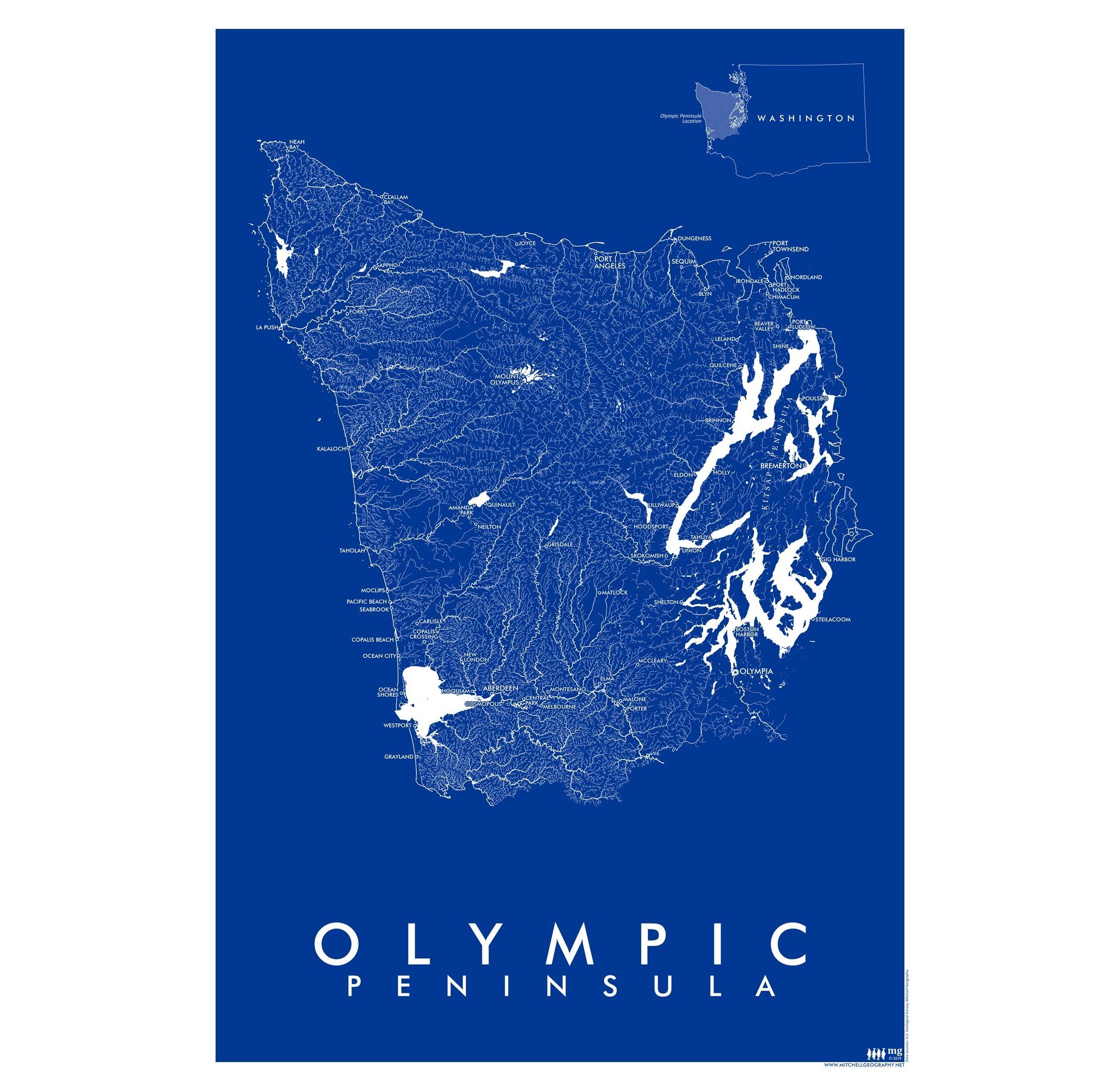
Bainbridge Island (24 in x 18 in)
1:29,000
18 inch x 24 inch — flat wall map, printed on a heavy fine paper — shipped rolled.
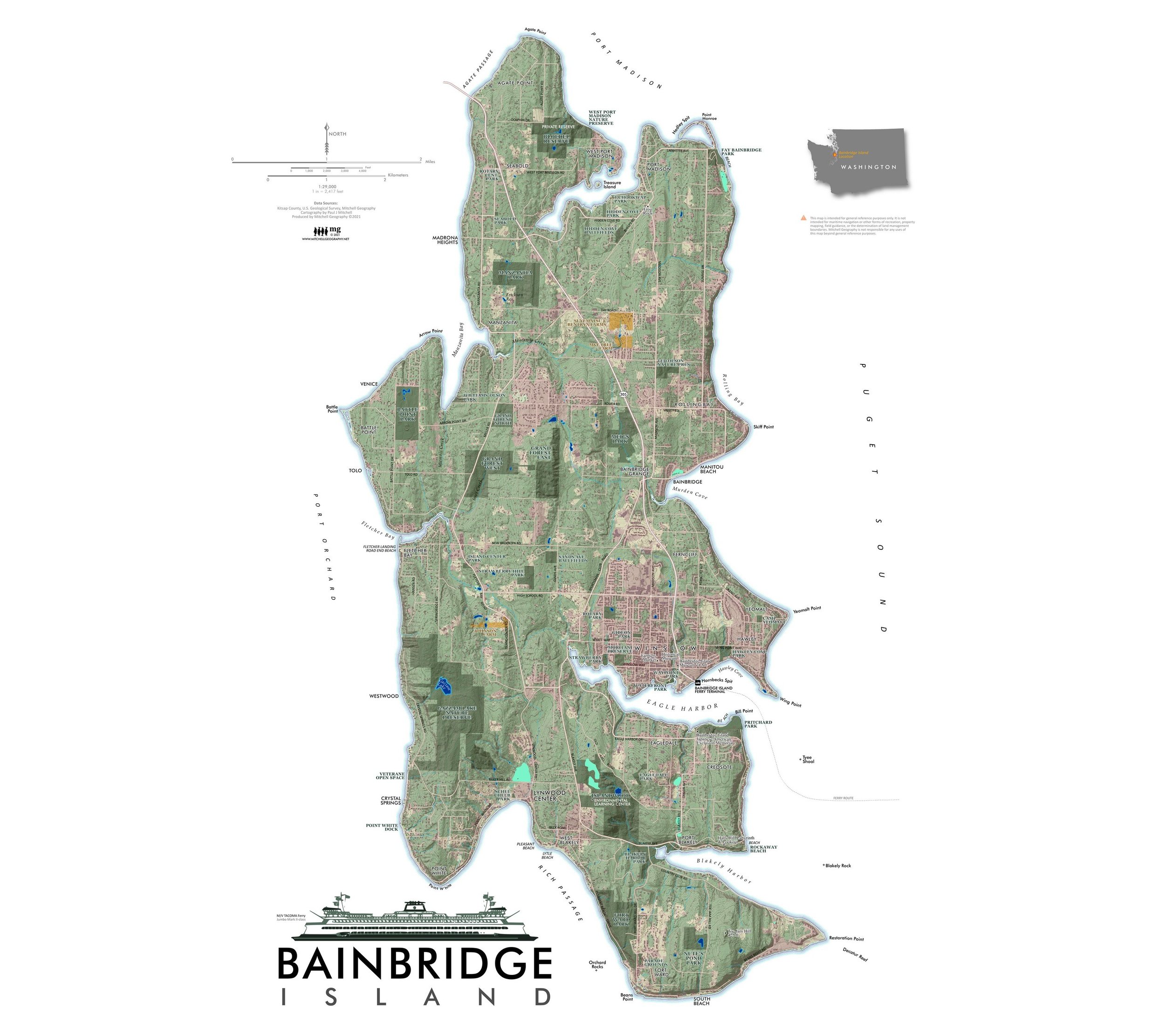
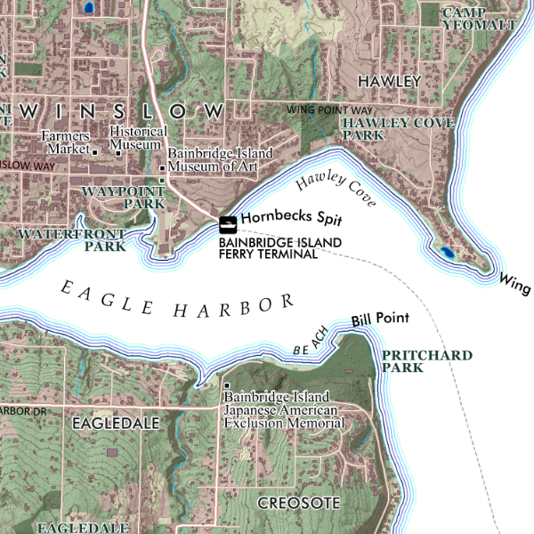
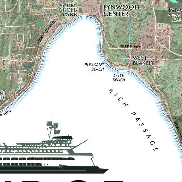
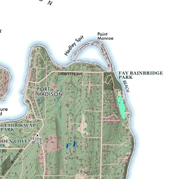
Overview map of Bainbridge Island, Washington. Map includes public parks and other preserves, building footprints and lidar derived topographic data. Places and natural features are labeled… and special features like Frog Rock!
1:29,000
18 inch x 24 inch — flat wall map, printed on a heavy fine paper — shipped rolled.
Overview map of Bainbridge Island, Washington. Map includes public parks and other preserves, building footprints and lidar derived topographic data. Places and natural features are labeled… and special features like Frog Rock!