 Image 1 of 5

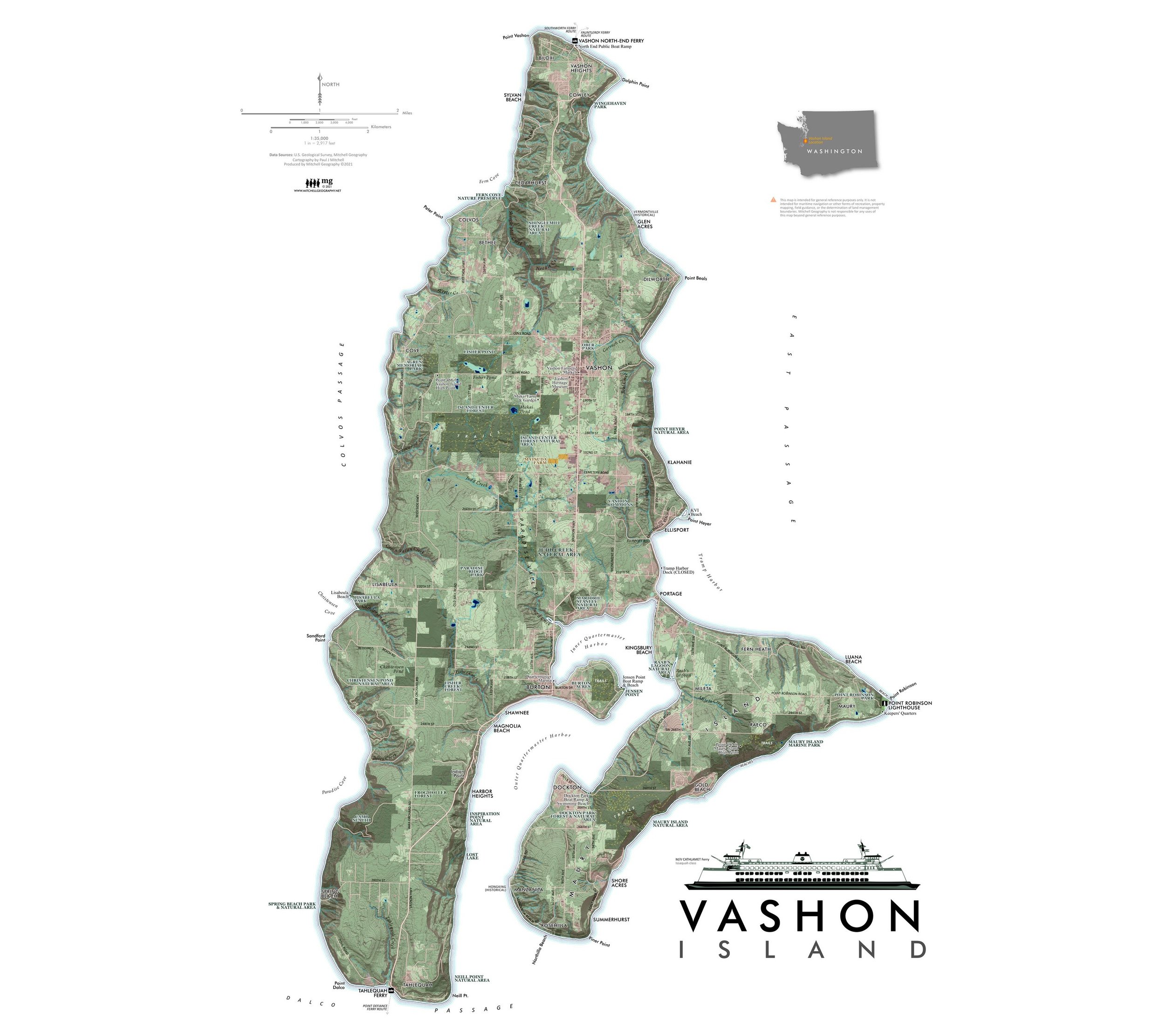 Image 2 of 5

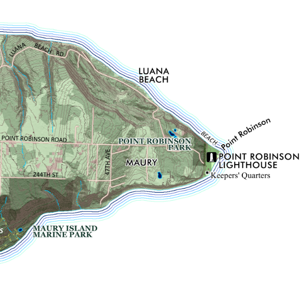 Image 3 of 5

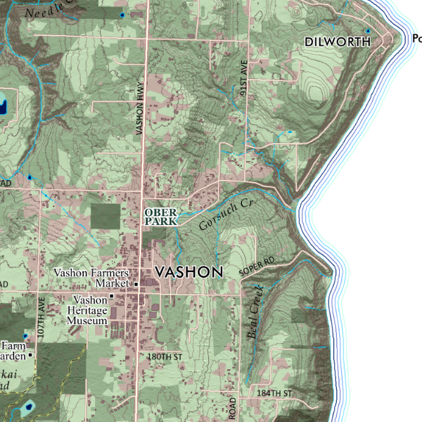 Image 4 of 5

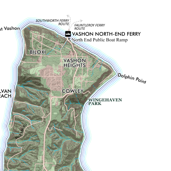 Image 5 of 5


Vashon Island (24 in x 18 in)
1:35,000
18 inch x 24 inch — flat wall map, printed on a heavy fine paper — shipped rolled.
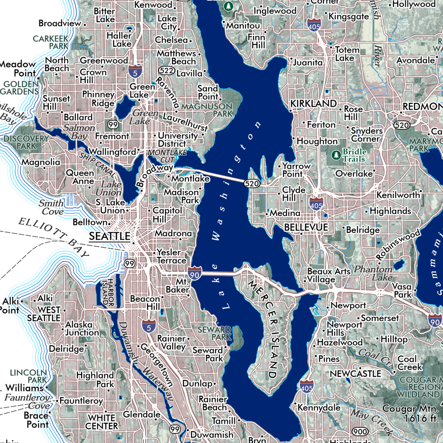
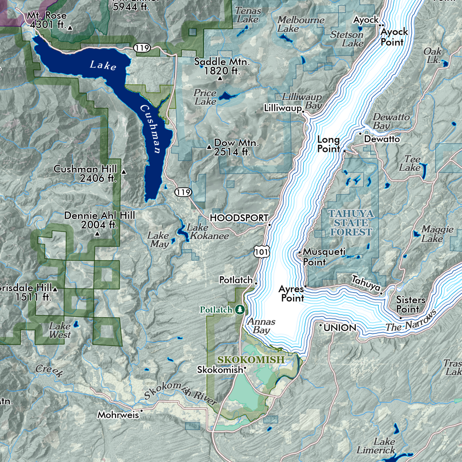
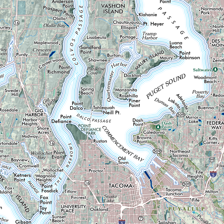
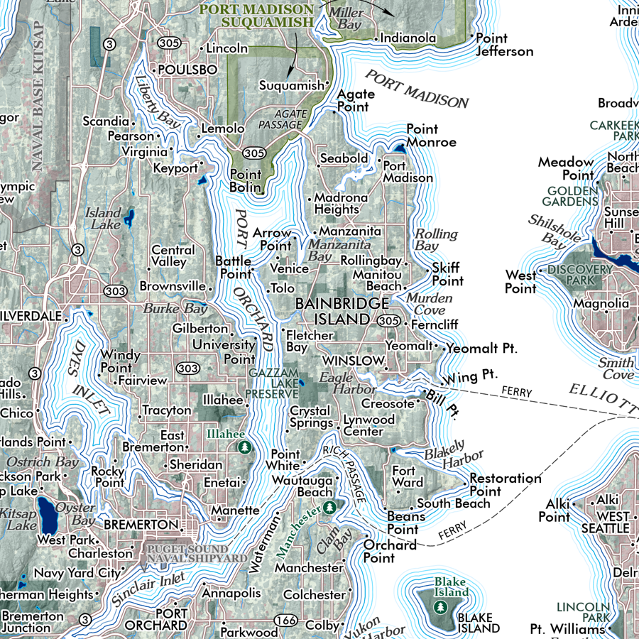
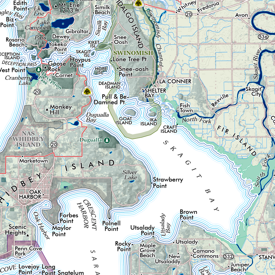
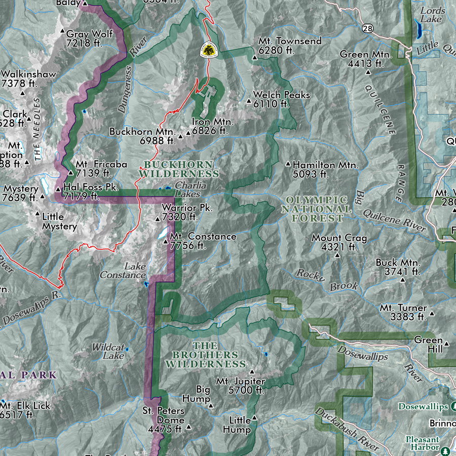
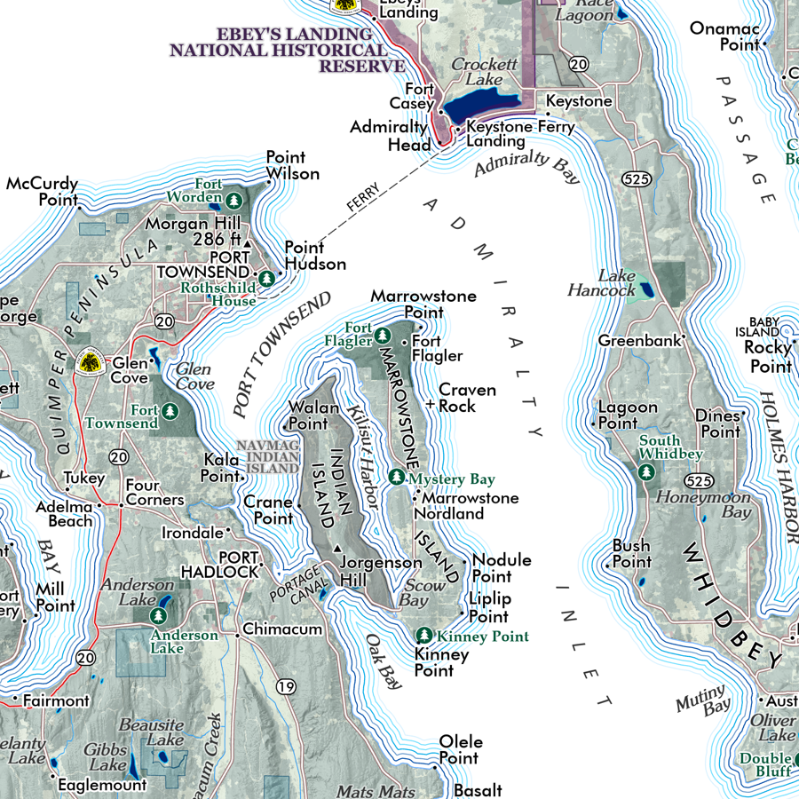
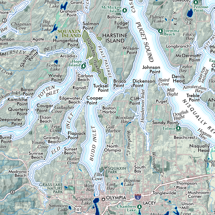
Overview map of Vashon Island, Washington. Map includes public parks and other preserves, building footprints and lidar derived topographic data. Places and natural features are labeled.
1:35,000
18 inch x 24 inch — flat wall map, printed on a heavy fine paper — shipped rolled.
Overview map of Vashon Island, Washington. Map includes public parks and other preserves, building footprints and lidar derived topographic data. Places and natural features are labeled.
1:35,000
18 inch x 24 inch — flat wall map, printed on a heavy fine paper — shipped rolled.
Overview map of Vashon Island, Washington. Map includes public parks and other preserves, building footprints and lidar derived topographic data. Places and natural features are labeled.


